Feeling torn between Allandale’s shady streets, The Domain’s buzz, and lake‑view living out west? You’re not alone. Northwest Austin offers many distinct pockets, each with its own rhythm, commute, and housing style. In this guide, you’ll compare the top micro‑areas by lifestyle, get practical tips to verify what matters, and walk away with a simple checklist to narrow your search. Let’s dive in.
What “Northwest Austin” really means
Neighborhood names in Austin are informal, and “Northwest” has fuzzy edges. Think in clusters: inner‑NW near central Austin, the North Burnet/Domain corridor, the Parmer/Tech corridor, mid‑NW suburban tracts, and far‑NW communities near the lakes. Some areas often grouped with NW Austin sit in Williamson County, not Travis. That affects taxes, schools, and utilities.
Before you fall in love with a street, verify boundaries and services by address using the City of Austin GIS maps and the Travis County Appraisal District. These tools help you confirm city vs. county lines, lot size, year built, and taxing entities.
Match your lifestyle to a micro‑area
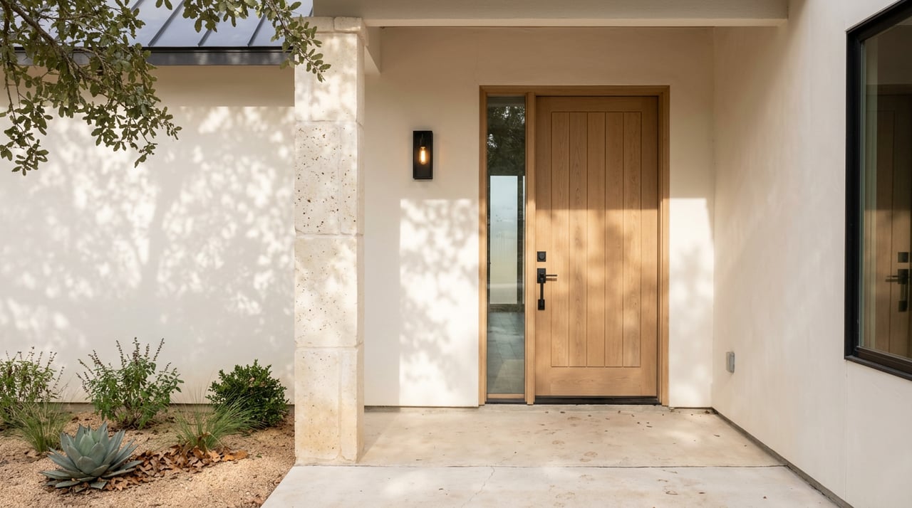
Best for a short downtown commute and character homes: Inner‑Northwest
Neighborhoods: Allandale, Brentwood, North Shoal Creek, North Loop
- What you’ll feel: Established, tree‑lined streets and mid‑century charm.
- Home types: Bungalows and ranch homes with some infill and small condos along major corridors.
- Everyday life: Independent shops and local restaurants along Burnet, Anderson, and Guadalupe. Walkable pockets.
- Watch‑outs: Smaller lots and rising replacement activity. Expect limited off‑street parking on some blocks.
Best for walkable mixed‑use living: North Burnet, The Domain, Jollyville, Braker
- What you’ll feel: A fast‑growing urban corridor anchored by The Domain, with retail, offices, and newer condos.
- Home types: High‑ and mid‑rise condos and apartments near the core, townhomes and newer single‑family farther out.
- Everyday life: Dense retail, entertainment, and transit access. Many jobs are nearby, which can reduce downtown trips.
- Watch‑outs: Peak‑hour traffic on 183, Braker, and MoPac. Condos can carry higher price per square foot.
Best for value near major employers: Parmer/Tech corridor
Areas around Parmer Lane, Tech Ridge, Anderson Mill
- What you’ll feel: An employment corridor with big retail and master‑planned subdivisions.
- Home types: Townhomes and single‑family homes in the mid‑price ranges, plus newer communities.
- Everyday life: Auto‑oriented convenience, big‑box shopping, and quick access to tech campuses along Parmer.
- Watch‑outs: Less of an older‑neighborhood feel and fewer pedestrian‑friendly blocks.
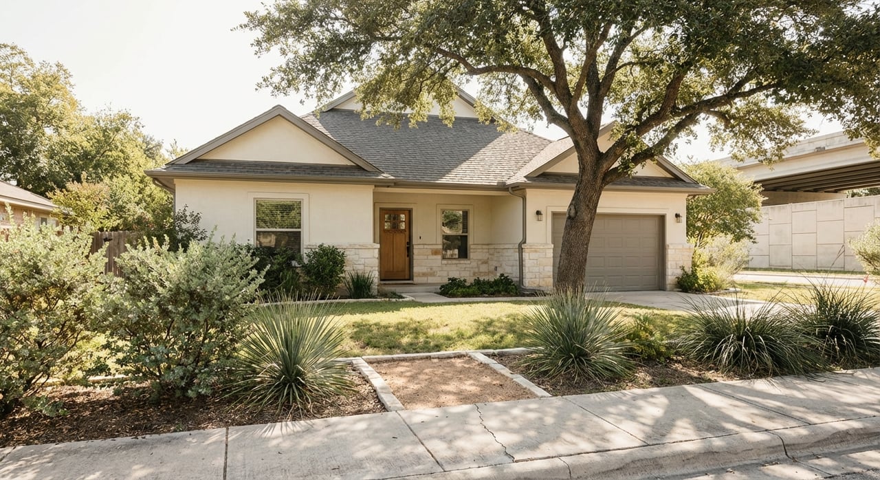
Best for larger lots in established suburbs: Great Hills, Balcones, Anderson Mill corridor
- What you’ll feel: Mature landscaping and 1970s–1990s single‑family homes, often on larger lots than inner‑NW.
- Home types: Traditional and ranch styles, plus occasional infill.
- Everyday life: Neighborhood parks, community pools, and quick links to MoPac, 2222, and Anderson.
- Watch‑outs: School assignments can vary by street. Many homes invite cosmetic updates.
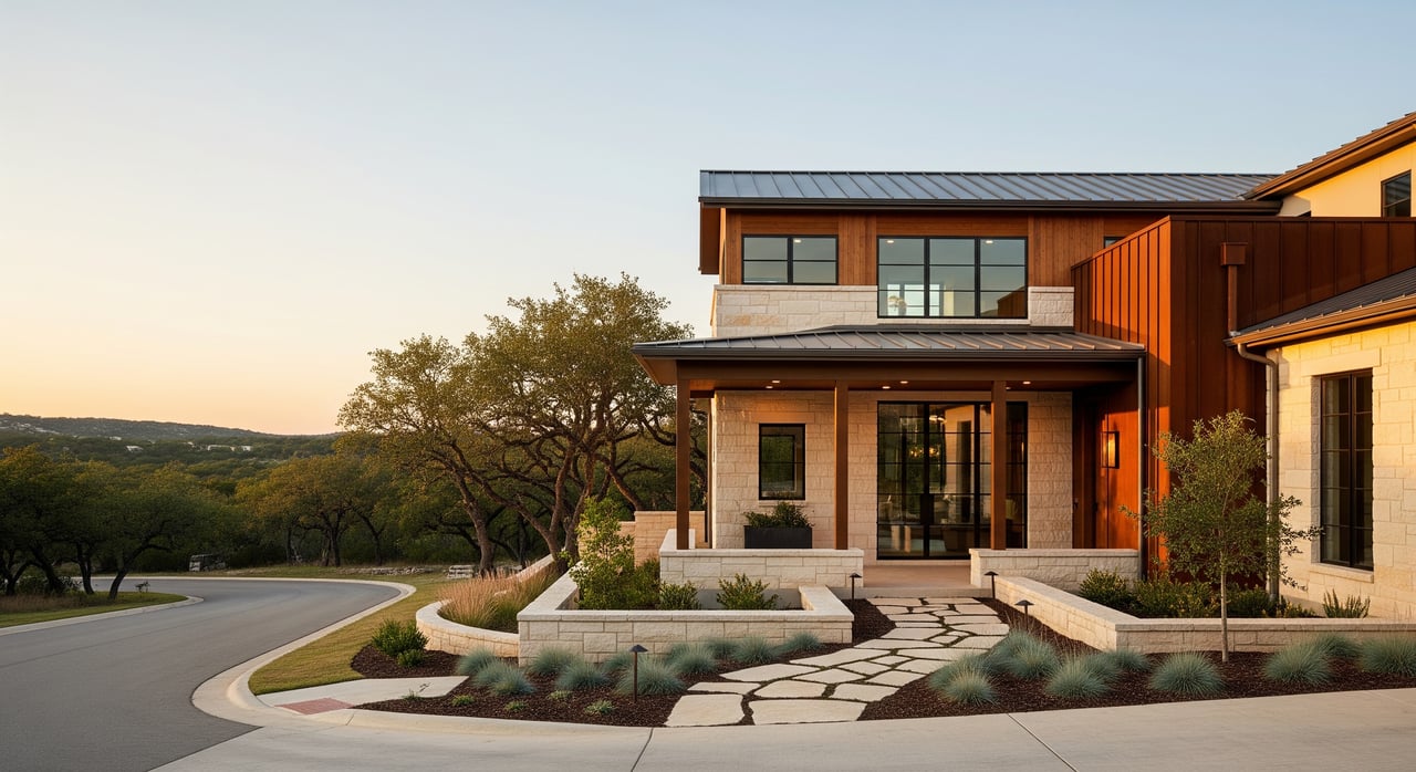
Best for lake access and outdoor lifestyle: Steiner Ranch, Westlake edge, Lake Travis approach
- What you’ll feel: Hill Country views, trail systems, and planned amenities near Lake Austin and Lake Travis.
- Home types: Larger, newer single‑family homes, often HOA‑governed with community centers and pools.
- Everyday life: Trails, tennis, and water recreation. Expect longer drives to central Austin.
- Watch‑outs: Commute times to downtown are typically longer. HOAs and property taxes can be higher.
A note on far‑north options: Lakeline, Cedar Park, Leander
Some buyers expand their search north for newer homes and more space for the price. Many of these communities are in Williamson County. If you prefer Austin city services or a specific school district, verify county and city lines by address before you tour.
Commute and transit at a glance
MoPac (Loop 1), US‑183, RM 2222, Parmer Lane, and Anderson Lane are the main arteries. Inner‑NW neighborhoods can reach downtown in roughly 10 to 20 minutes off‑peak. The Domain/North Burnet corridor often runs 10 to 25 minutes depending on route. Far‑NW areas like Steiner Ranch commonly run 25 to 45 minutes or more, especially during rush hour.
Transit access varies:
- The Domain area has more frequent bus service and job centers that cut cross‑town commuting. Check CapMetro route maps for options.
- North of the city, the Red Line commuter rail serves Lakeline and Leander. Explore schedules on the CapMetro Red Line.
Tip: Test your commute at both peak and off‑peak times. Use your favorite navigation app on a weekday and compare at least two routes.
Parks, trails, and outdoor access
If daily green time is a must, inner and mid‑NW put you close to city parks and trail systems. Walnut Creek Metropolitan Park offers miles of hiking and biking. Explore hours and amenities on the Walnut Creek Metropolitan Park page.
For creek access and Hill Country scenery, Bull Creek District Park and the Bull Creek Greenbelt are local favorites. If you want larger preserves and lake recreation, far‑NW communities provide easier access to Lake Austin, Lake Travis, and the Balcones Canyonlands Preserve.
Schools and attendance zones
Multiple districts serve NW Austin. Austin ISD covers much of the inner and mid‑NW within city limits. Parts of NW Austin fall into Leander ISD, and some west‑edge areas have different arrangements. Boundaries change over time, and elementary, middle, and high school feeders can differ by address.
Always verify by address using the Texas School District Locator and the district’s boundary pages. For market context, you can review accountability and district information on TEA, then confirm a specific home’s assignment directly with the district.
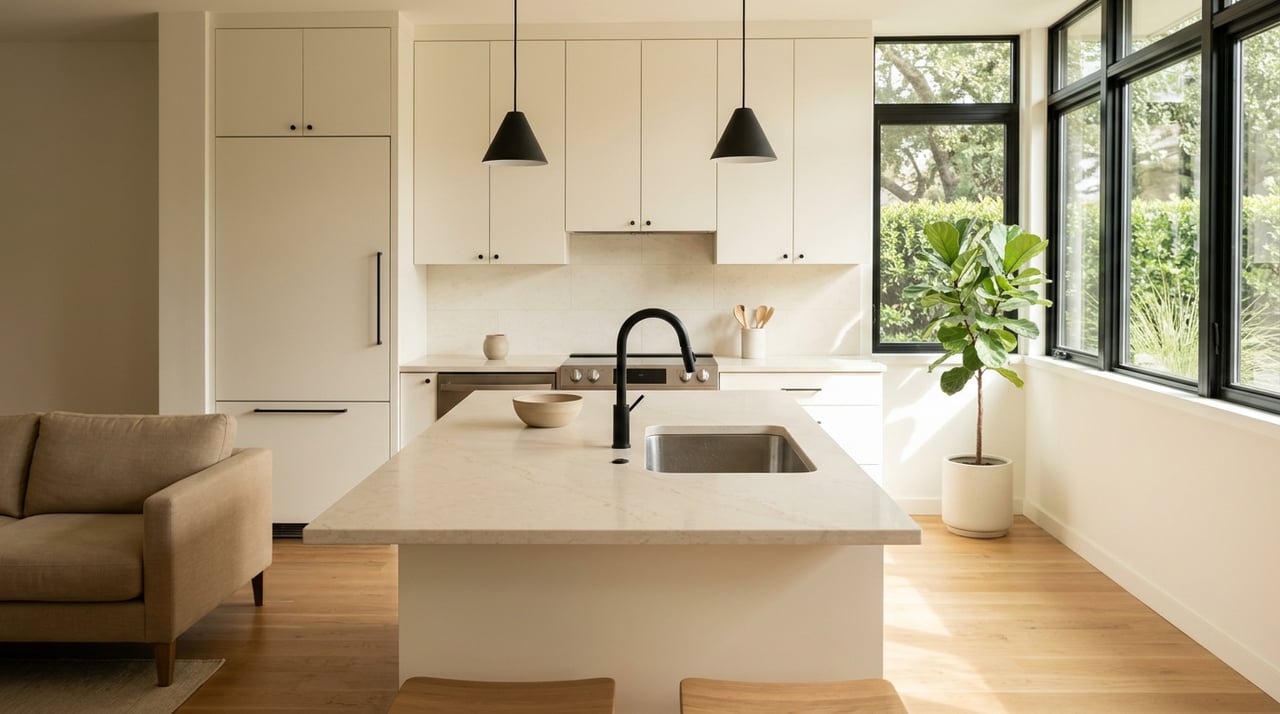
Housing types, zoning, and HOAs
Inner‑NW areas feature smaller lots and mid‑century homes. Expect ongoing infill and replacement construction along key corridors. The Domain/North Burnet area skews vertical with condos and apartments. Mid‑NW offers 1970s–2000s single‑family homes on medium to larger lots. Far‑NW leans newer with larger homes and HOA‑managed amenities.
What to check:
- Zoning and nearby development plans if you care about future density or mixed‑use. Review current maps and cases through City of Austin resources.
- HOA documents, fees, and amenity access for planned communities.
- Lot size, year built, and taxing entities on the Travis County Appraisal District.
Everyday conveniences: walk vs. drive
- Domain/North Burnet: Densest cluster of retail, grocery, restaurants, and clinics, plus offices and transit.
- Inner‑NW: Local shops and eateries along Burnet, Guadalupe, Anderson, and North Loop, with a smaller‑scale urban feel.
- Parmer/Anderson corridors: Big‑box retail and regional groceries with easy car access.
- Far‑NW: Community centers and neighborhood retail; plan on driving for most errands.
To gauge walkability, check address‑level scores on Walk Score and run quick searches for grocery, pharmacy, park, and school within a set radius.
How to verify your shortlist
Use these tools to confirm details before you book showings:
- Boundaries and plans: City of Austin GIS maps for neighborhood planning areas and city data.
- Parcels and taxes: Travis County Appraisal District for lot size, year built, and taxing jurisdictions.
- Schools: Texas School District Locator and the district’s feeder maps by address.
- Flood risk: FEMA Flood Map Service Center for floodplain queries near creeks and river corridors.
- Transit: CapMetro route maps and Red Line schedules if rail is part of your plan.
- Market context: Neighborhood snapshots and trends on ABOR market data. For the freshest numbers, ask your agent to pull current MLS stats for your short list.
One‑page checklist for touring homes
Use this to compare three to five micro‑areas side by side.
Non‑negotiables
- Max commute time (peak and off‑peak)
- Preferred school district(s) by address
- Minimum lot size or housing type
- Max HOA fee
Preferences
- Walkability score target
- Proximity to a specific park, trail, or lake access
- Home style you prefer, from bungalow to newer construction
Deal breakers
- Floodplain location or known drainage issues
- Steep driveways or stairs if mobility is a concern
- High‑rise living if that does not fit your lifestyle
Data to collect for each area
- Typical drive time, two routes, peak and off‑peak
- Current median price and inventory trend from MLS/ABOR
- Top three nearby amenities you’ll use weekly
- School assignments by address
- HOA presence and fee range
- Nearest major arterial and a good alternate route
Next steps
Choosing a micro‑neighborhood is easier when you align your day‑to‑day life with the right pocket of NW Austin. Start with your commute and school needs, then layer in parks and amenities you’ll use weekly. Tour a few homes in each target area, and track your checklist to see which one feels right.
When you’re ready, our family team will help you compare options, confirm boundaries, and streamline financing so you can move with confidence. Reach out to Guadalupe Abbud to plan your NW Austin search today.
FAQs
What counts as “Northwest Austin,” and why do boundaries matter?
- “Northwest” is a general label with fuzzy edges, so confirm each address on City of Austin GIS maps and the Travis County Appraisal District to verify city vs. county, schools, and taxes.
How long is the commute from Steiner Ranch to downtown Austin?
- Plan for about 25 to 45 minutes or more in peak hours, with faster times off‑peak; test your route at both times to see real‑world results.
Which NW Austin areas are most walkable for errands and dining?
- The Domain/North Burnet corridor offers the densest cluster of shops and transit, while inner‑NW pockets like Brentwood and Allandale have smaller walkable nodes; check specific addresses on Walk Score.
How do I confirm school assignments for a specific home?
- Use the Texas School District Locator, then confirm the elementary, middle, and high school feeders with the district by the exact address.
What tools help me check flood risk in NW Austin?
- Search the FEMA Flood Map Service Center by address and review seller disclosures; your agent can also flag local drainage considerations near creeks.